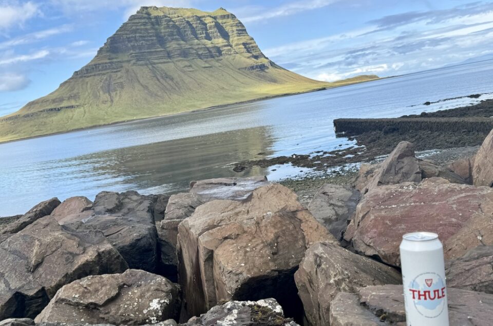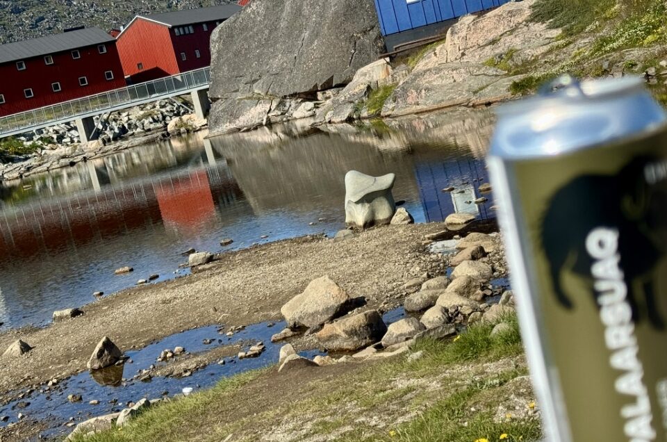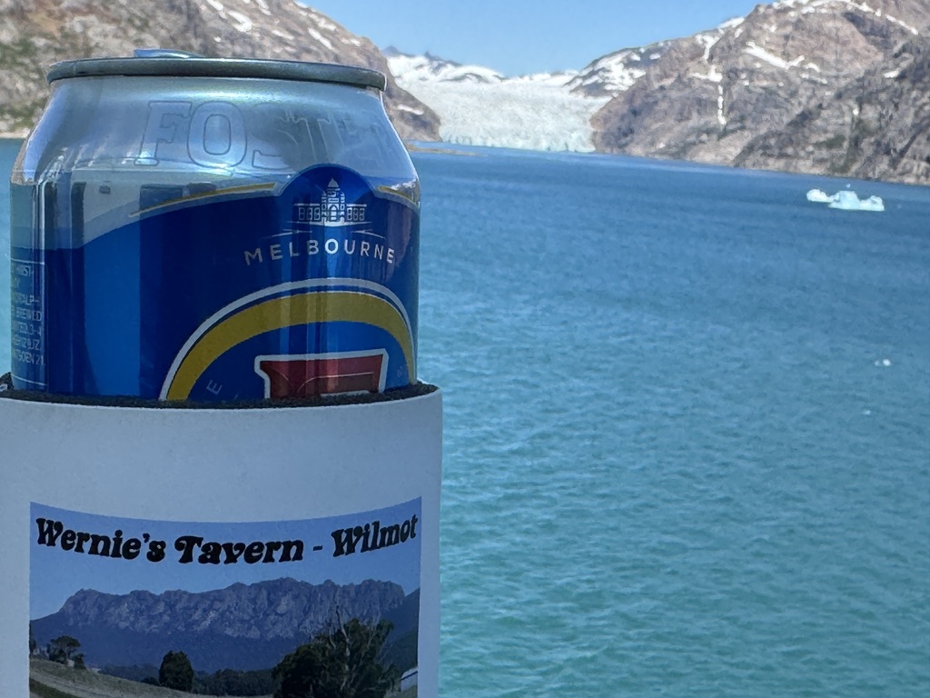
The View From My Beer
Today I enjoyed a Fosters from my room using my Wernie’s Tavern stubbie holder to prevent my hands from freezing as I spent most of the day outside on the decks observing the amazing scenes, including this glacier.
Prins Christian Sund

Prins Crhistian Sund is a waterway in southern Greenland approximately 100km long connecting the Labrador Sea in the West with the Irminger Sea in the East. Our cruise ship entered the sound from the West via a series of fjords.
My Walk
On sea days I normally walk circuits around the ship. The ship is about 300 metres long, so each lap is about 650 metres. At the bow of the ship it is necessary to climb stairs from deck 7 to deck 8 so it also has a bit of stair climbing as well. It is often a good way to observe what is happening outside. Even when we are far out at see it can be interesting watching the waves crash against the boat, the odd sighting of whales, or spectacular sunsets. Today I spent most of my time on these two decks circling the ship to take in the differing views on each side of the ship on what was definitely the most stunning visuals I have ever had walking around a ship.
Nunarsuaq


The day didn’t start well. When I got up to go to the gym there was thick fog outside. As we approached the fjords the wind rose significantly. Fortunately, it cleared and we had a bright sunny day, something of a rarity in this part of the world. The wind also dropped considerably as we entered the fjord. Suddenly we found ourselves in a narrow fjord with steep cliffs and amazing waterfalls cascading down the sides. We were passing by the Southernmost point of mainlain Greenland and the island of Nunarsuaq.
Torsukattak Fjord


We then entered into the the Torsukattak fjord, one of a series of interconnected fjords in the area. The fjord connected the southernmost part of Greenland from the island of Anoraliuirsoq.
Glacier #1

It wasn’t long before our first glacier appeared. It was a hanging glacier that no longer reached the water. Greenland’s ice sheet is being watched closely as it has the largest sheet of ice outside of Antarctica. Unlike Antarctica, almost all the ice is on land. As it melts it will have a pronounced impact on sea levels. Much of Antarctica’s ice is already in the water, so the melting will have less of an impact. Greenland’s ice sheet and the glaciers from which the ice escapes into the ocean are being impacted by climate change and retreating at increasing speeds.
Note: During the cruise we were told the names of each glacier we passed. I thought I would be able to use Google Maps to get the names later. Sadly, my research has failed to identify the names of many of these glaciers. For some reason Apple and Google Maps do not have this part of the world documented to their usual high standards. But I will keep searching.The first of the six glaciers we passed
Glacier #2

The second glacier was also a hanging glacier, with a waterfall below allowing the melting ice to find its way into the sea.
Aappilattoq


We passed Aappilattoq, a small Inuit fishing village with around 100 residents. The name means ‘Red’ in the Greenlandic language, coming from the color of the cliffs that rise above the village.
Ilua Fjord


Our ship then made a series of sharp turns as it navigated the Ilua fjord. It was never clear exactly where we were headed next in the maze of fjords.
Angnikitsoq Fjord


A final set of turns through the Angnikitsoq Fjord would finally take us into Prins Christian Sund. I’m not sure if it mattered as the scenery had been quite stunning so far. When I first heard we had six hours of cruising through the sound I had expected I would take photos for an hour and then pop back every now and then. Instead I was riveted by the experience and stayed on deck all six hours, apart from a forced interruption to process my laundry (yes, it was also laundry day for me).
Qoornoq Fjord


We were now in the Western arm of Prins Christian Sund. My phone and maps suggest this part is also called Qoornoq. I have decided to adopt the name as a simple way to break these photos down into a manageable chunk. I took over 400 photos today and it has been a challenge to try and reduce that down to a more manageable number.
Glacier #3

Our third glacier experience was a glacier that reached all the way into the sea. It was spectacular. During our cruise we only encountered one other vessel, a yacht that sailed alongside us for about 25 minutes. It must of been really awesome for them as they were able to navigate much closer to the edges of the fjord and the glaciers. I was just happy a ship our size could navigate the sound.
Prins Christian Sund


We encountered a lot more icebergs and growlers during our trip down Prins Christian Sund due to the presence of glaciers that deposited ice directly into the sound. At one stage we passed between between two icebergs that came very close to the ship. We could almost reach out and scrape off a few ice-cubes for our drinks.
Kangerluk Glacier

The fourth glacier was the Kangerluk Glacier. By now we were getting very close to the Greenland Ice Cap itself and you could see the amazing flow of ice that was taking plac from the ice cap down into the water.
Glacier #5

It was a similar story with glacier number five.
Glacier #6

Our sixth and final glacier was one of the nore spectacular. We were now at the southernmost point of the Greenland Ice Cap and the ice had a much shorter journey to make voia the glacier to reach the water below.
Greenland Sea


At the eastern end of Prins Christian Sund was the Bluie East One station. It had been established during World War II, playing an important role to ensure the safety of transatlantic shipping during the war. As we headed out into the Greenland Sea we saw a few more icebergs that were hugging the coastline. It was also possible to get a last glimpse of the Greenland Ice Cap.
You might also like